Wrapping up Austin
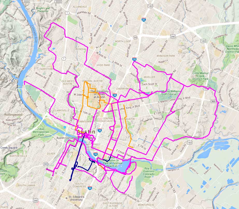
Austin ride data. I’m in pink, Nancy’s blue, April’s orange.
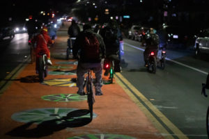
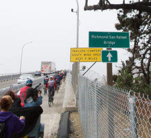
We covered a lot of ground in Austin; 222km, over double what I did in Charlotte. There is some duplication in that number, but there are also some missing segments. That curving path all the way out on the right side is the Southern Walnut Creek path; you can see how it would have limited utility if you don’t live northeast of the city. The loop in the northwest is also not great for utility, too much steep up and down, but relatively pleasant residential streets for recreational riding.
It’s unfortunate that UT Austin (more or less in the center of this map) was not in session; you can see how much of the network is oriented towards the university. That’s a fairly fundamental problem for a summer research project on bike transportation–UMN and Ohio State will also be out of session when I visit Minneapolis and Columbus. I’ll have to see if I can manage to get back when the students are around.
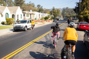
It will be interesting to think about the analogy between southern Austin and Saint Paul. The area south of the river is way less bike-friendly than central Austin; high-speed roads with tacked-on, discontinuous bikeways. The “boardwalk” bike path along the river is pleasant but has issues for utility cyclists (difficult connections, potentially heavy pedestrian traffic). If central Austin is like Minneapolis, and southern Austin is like Saint Paul, what does that say about relative cycling rates?
 Previous Post
 Next Post