Field work

Keep Saint Paul Boring

A cool side effect of having chosen Minneapolis as one of the study cities is that Saint Paul is right next door. Because of the way the two cities were originally founded, and how they’ve grown over the decades, they have very different administrative structures, infrastructure, and politics. Saint Paul is more Garrison Keillor than Sleater-Kinney, and that’s part of why there isn’t as much support for bike facilities and bicycling in the smaller of the Twin Cities.

University of Minnesota bike programs

My first meeting in Minneapolis was with Steve Sanders, director of their bike and pedestrian programs. Steve has been around UMN for a long time, and has done a lot to encourage cycling during his time there. Partly as a result of his work, the Washington Avenue Bridge, which is the main bike link between downtown Minneapolis and the main campus (which are on opposite sides of the river) sees 7,000 cyclists a day during the school year.
Steve also runs the Dero ZAP bike commuting program. Participants get an RFID chip to attach to their spokes, and readers on the Washington Avenue Bridge and other locations record their trips to campus.

Bike infrastructure and identity politics

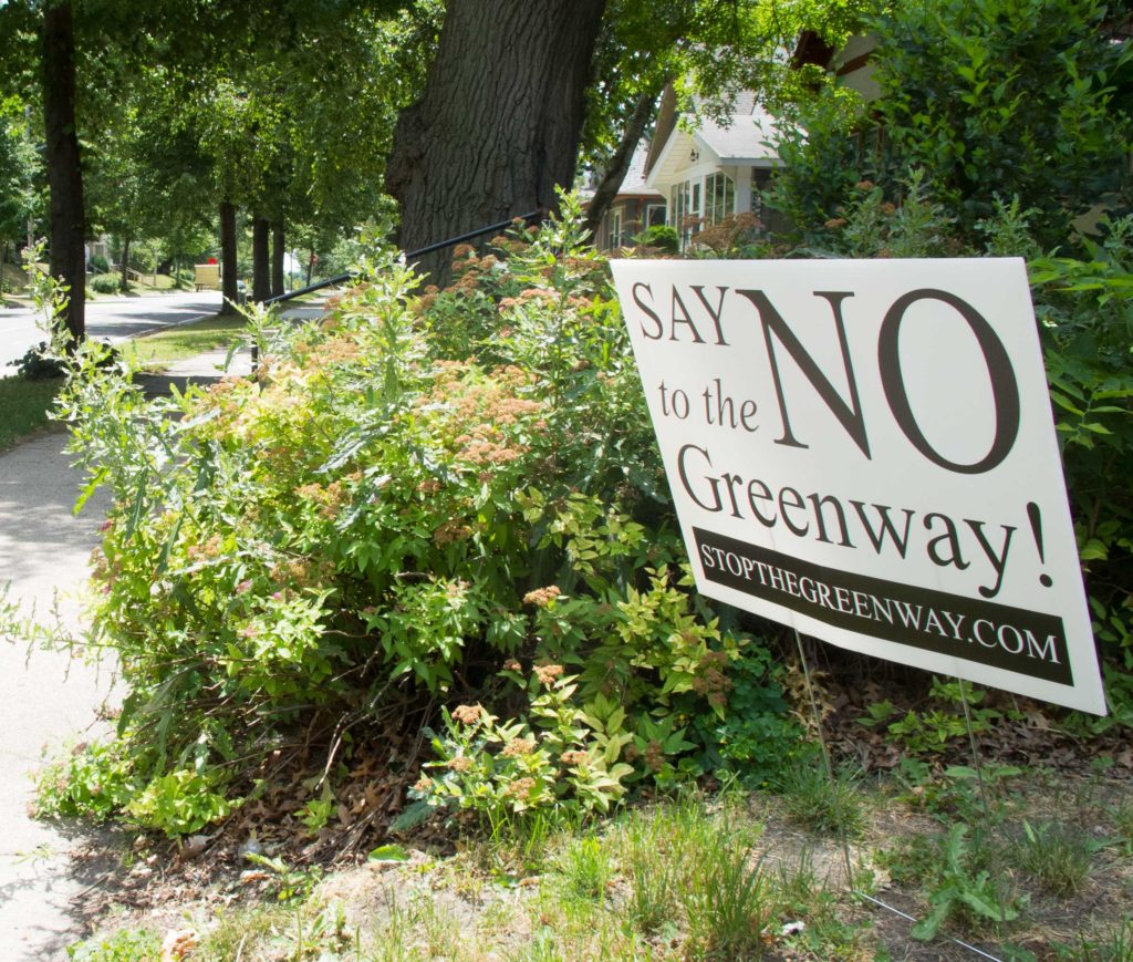
Arriving back in Oakland, I got stuck in traffic when #BlackLivesMatter closed down the freeway. It highlighted for me that the most interesting things I’ve found on these research trips have been related to identity politics. From the exclusions of the Southern Walnut Creek bike path in Austin, to the controversy over the North Minneapolis Greenway (more on that later), to the lack of east-west connections in Columbus (more on that also), I keep coming across interesting social issues which play out in cycle infrastructure. It feels like a rich and timely topic.

Minneapolis neighborhoods

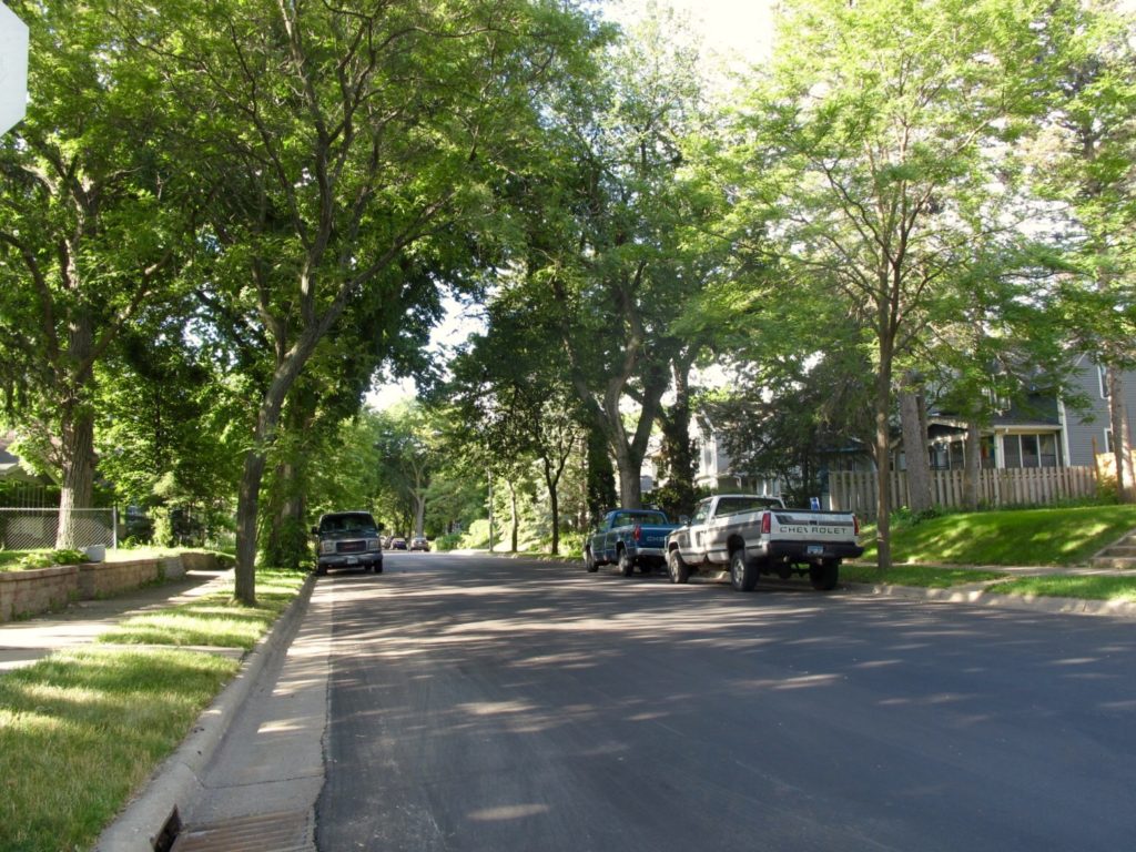
On my first morning in Minneapolis, the first thing I saw was a woman on a bike. The street grid where I was staying is almost entirely natural bikeway. The residential streets are relatively narrow and tree-lined. Driveways are mostly in alleyways behind the houses, so the streetscape is continuous and human-friendly. Various cues like the lack of pavement markings signal to drivers that these are low-speed neighborhood streets.

Wrapping up Austin

We covered a lot of ground in Austin; 222km, over double what I did in Charlotte. It’s unfortunate that UT Austin (more or less in the center of this map) was not in session; you can see how much of the network is oriented towards the university. That’s a fairly fundamental problem for a summer research project on bike transportation–UMN and Ohio State will also be out of session when I visit Minneapolis and Columbus. I’ll have to see if I can manage to get back when the students are around.

Exclusions and “invisible cyclists”

The most interesting finding of my first field trip came as I was riding through East Austin. The Southern Walnut Creek path is a freeway-style recreation path which bisected the neighborhood without connecting to it or addressing the issues of the residents. I believe that bike advocacy often takes a narrow and hegemonic view of what good streets look like, and that much advocacy work loses sight of the core goals of street projects (increasing safety and reducing car trips) in favor of projects which symbolically reassert cyclist privilege.

Scroll to Top