One of the things I noticed while riding around Charlotte was that certain streets, or collections of streets, are what I would call “natural” bikeways. These are relatively flat roads which carry relatively low traffic volumes for their width, and which allow you to ride for significant distances with limited major intersections and limited stops. Some of these natural bikeways are officially signed routes, but they really don’t need to be; if they connect interesting places, utility cyclists will use them whether or not they are signed. Way-finding, which can be an issue with off-street pathways, is much less of a problem on roads.
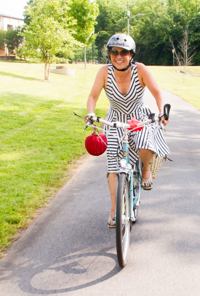
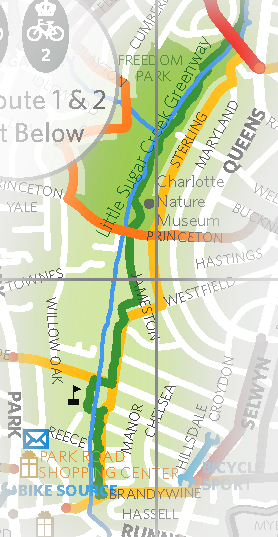
For example, in south Charlotte there is a series of roads (Wesfield, Irby, Jameston, Sterling) which parallels the Little Sugar Creek Greenway for about two miles near Freedom Park. The greenway provides traffic protection to these roads; there is very little cross-traffic. Most auto traffic uses the arterial on the other side of the creek (Park Road). This route for bikes is easy to find, fairly direct, and relatively pleasant.
The concept of the natural bikeway has several implications for my research. One is that as a group, these routes are under-counted; some cities like Portland have miles and miles of natural bikeways, while most Southern cities (or anything built post-WWII in the U.S.) are limited in natural bikeway mileage. This is one of the reasons why Portland’s models for utility cycling (not to mention Amsterdam’s) don’t automatically fit into other U.S. cities. Natural bikeway mileage must be accounted for when comparing the facilities available in different cities.
And while natural bikeways are under-counted as a group, specific routes which become officially designated as bike routes can double-count bikeway mileage in terms of utility. The Little Sugar Creek Greenway is a designated off-street recreational pathway which parallels this natural bikeway. Both routes are identified on the Charlotte cycling map, and both connect the same places. In the data this counts as four miles of cycling facility, whereas in reality there is only two miles, with different options for different types of riders (street or greenway). The greenway path is narrow and twisty, involving several 90-degree turns onto narrow bridges and pathways; appropriate for low-speed recreational riding, especially for young children, but utility cyclists (I hypothesize) will tend to prefer the on-street route. In any case, this overlap of facilities should be considered duplicative for the purposes of utility cycling.