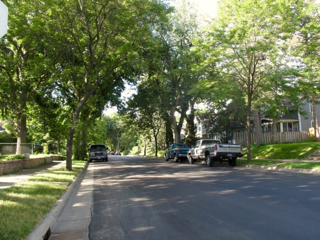
On my first morning in Minneapolis, the first thing I saw was a woman on a bike. I was staying in the Longfellow neighborhood south of the central city, and the street grid there is almost entirely natural bikeway. The residential streets are relatively narrow and tree-lined. Driveways are mostly in alleyways behind the houses, so the streetscape is continuous and human-friendly. Various cues like the lack of pavement markings signal to drivers that these are low-speed neighborhood streets.

The continuity of the grid, and sizable distances between arterial roads, allows for a large number of plausible low-stress trips. (More on low-stress networks later). The north-south street pictured here (43rd Avenue) looks just like this for almost two miles between Lake and Hiawatha, and similar east-west routes run for over a mile between the river and the train line, forming a roughly triangular area of over a square mile which is accessible to any kind of cyclist.
Additionally, the river provides a natural border, which allows for a two-way bike path which connects this area with the downtown or other areas of the city. The river (In Minneapolis. Not so much in St. Paul. More on that later, too.) serves both as a transportation corridor and a wayfinding tool.
The neighborhood form reminds me of Portland, and I think it is not coincidental that two of the highest cycling-rate cities in the U.S. have similar neighborhood forms. These blocks provide a great platform for a cycling network. Some of the streets are designated as bike boulevards, but to me that designation is unnecessary. Only in a few instances are the named bike boulevards treated differently from nearby residential streets in terms of traffic controls or other infrastructure. They don’t need to be, although I think there are some improvements that could be made, especially to stop sign treatments.


