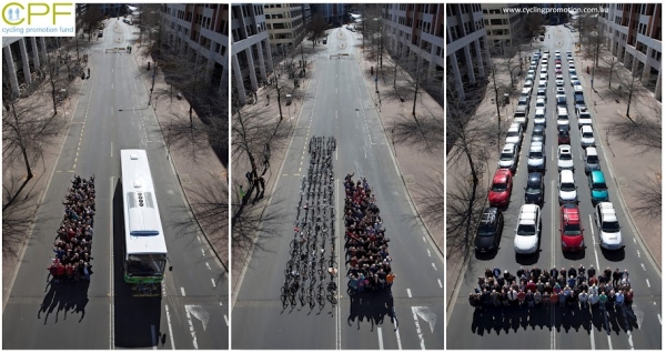
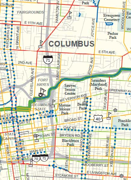
After looking at the job connectivity maps, I was curious to explore the idea that densities above a certain level led to walking more than cycling. I don’t have enough data to make a definitive statement, but I did find an interesting phenomenon related to connectivity in Columbus. The two maps below are connectivity to jobs within 1.5 miles along the cycling network, and within 0.5 miles.
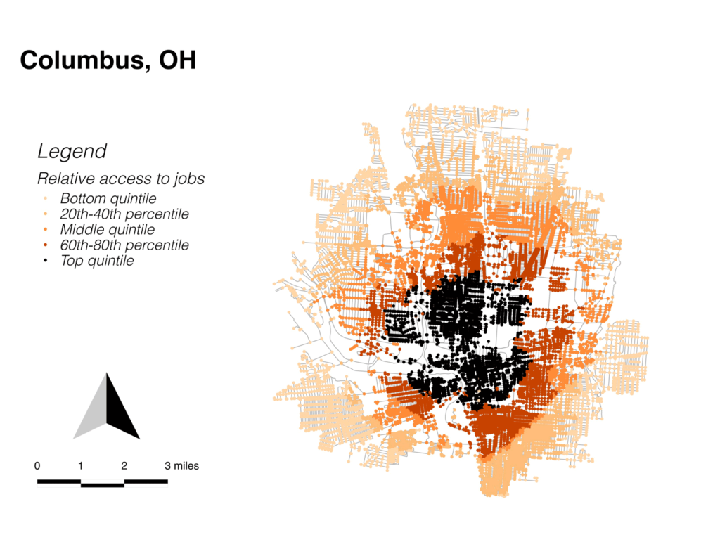
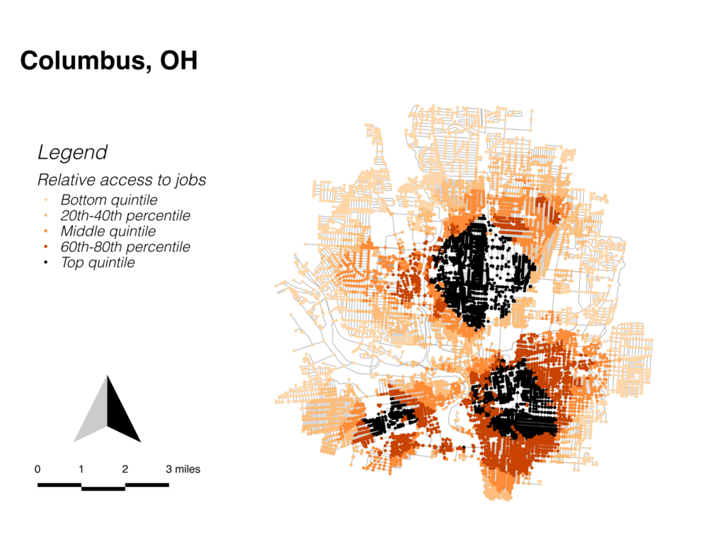
The difference between these two maps is stark, and curious. Basically what it’s saying is that Columbus has three disconnected zones where jobs are very close, broken up by areas of low job access. The north area is near OSU, the southeast is downtown, and the southwest is the Hilltop district, which appears to have access to a number of light industrial jobs. The disconnection between these areas partly stems from physical characteristics; the Scioto River, along with freeways and rail lines. But it also appears to be related to depressed areas of the city. Directly north of downtown, and south of OSU is the Old Towne East area, where I happened to be staying, and which features a lot of dilapidated buildings and not many businesses.
The 1.5-mile map shows more or less concentric circles radiating out from the central city, but job connectivity in that center can be seen as the sum of the job connectivity of the three less-central areas, where people might be walking to work.