Collection of Chicago (North Lawndale) maps

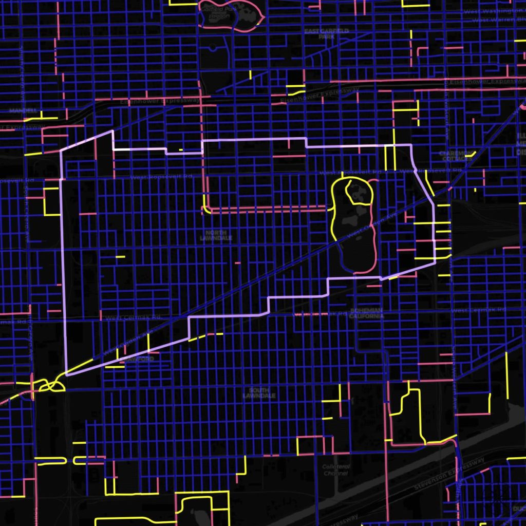
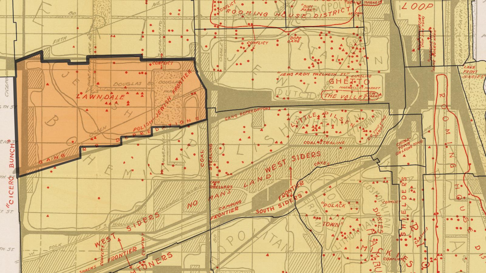
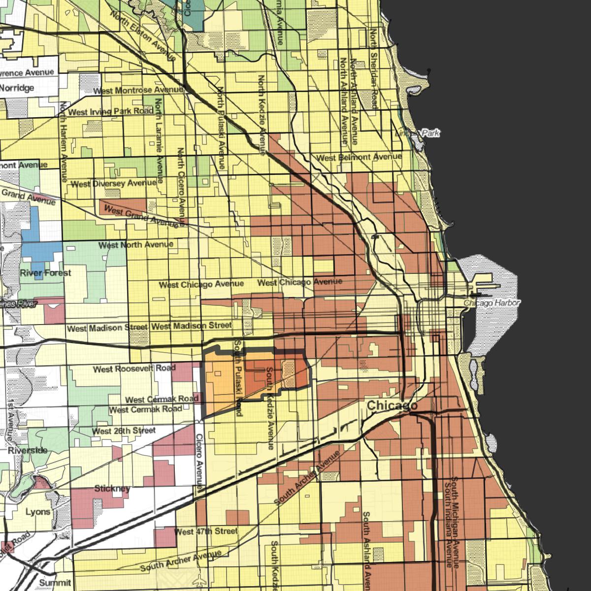
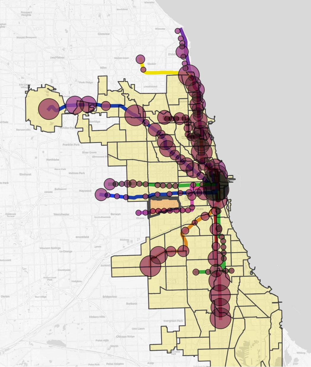
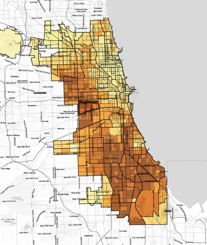
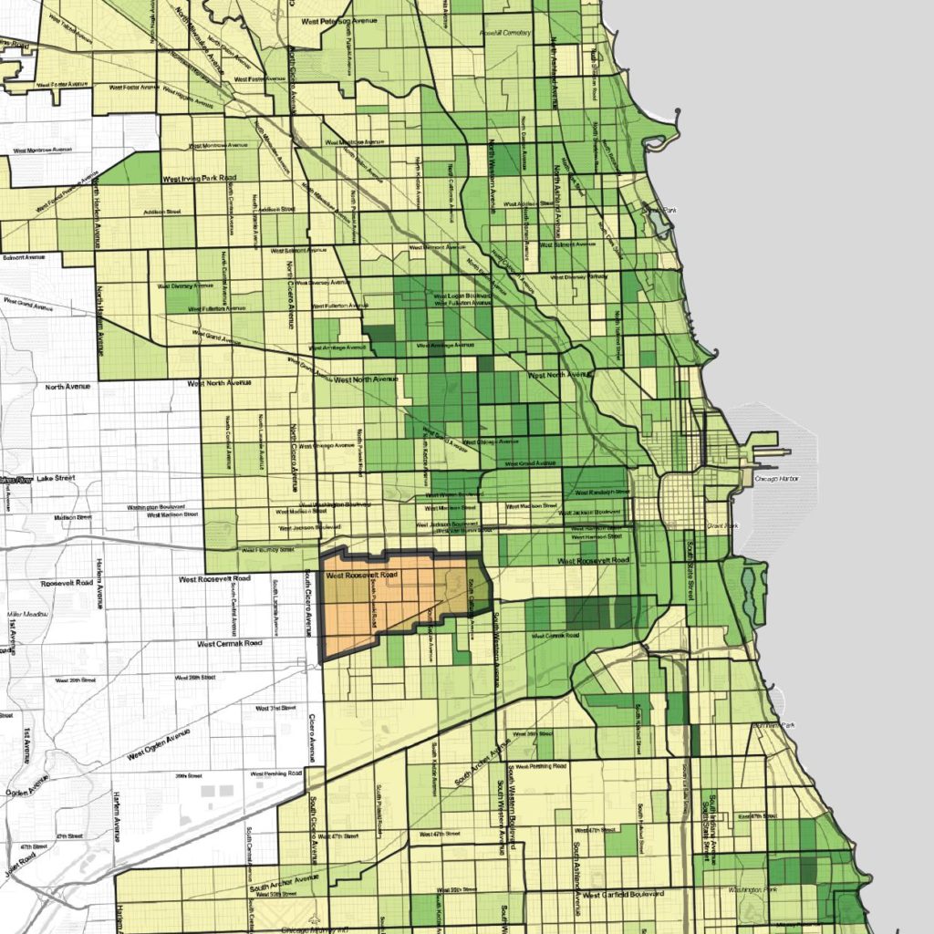
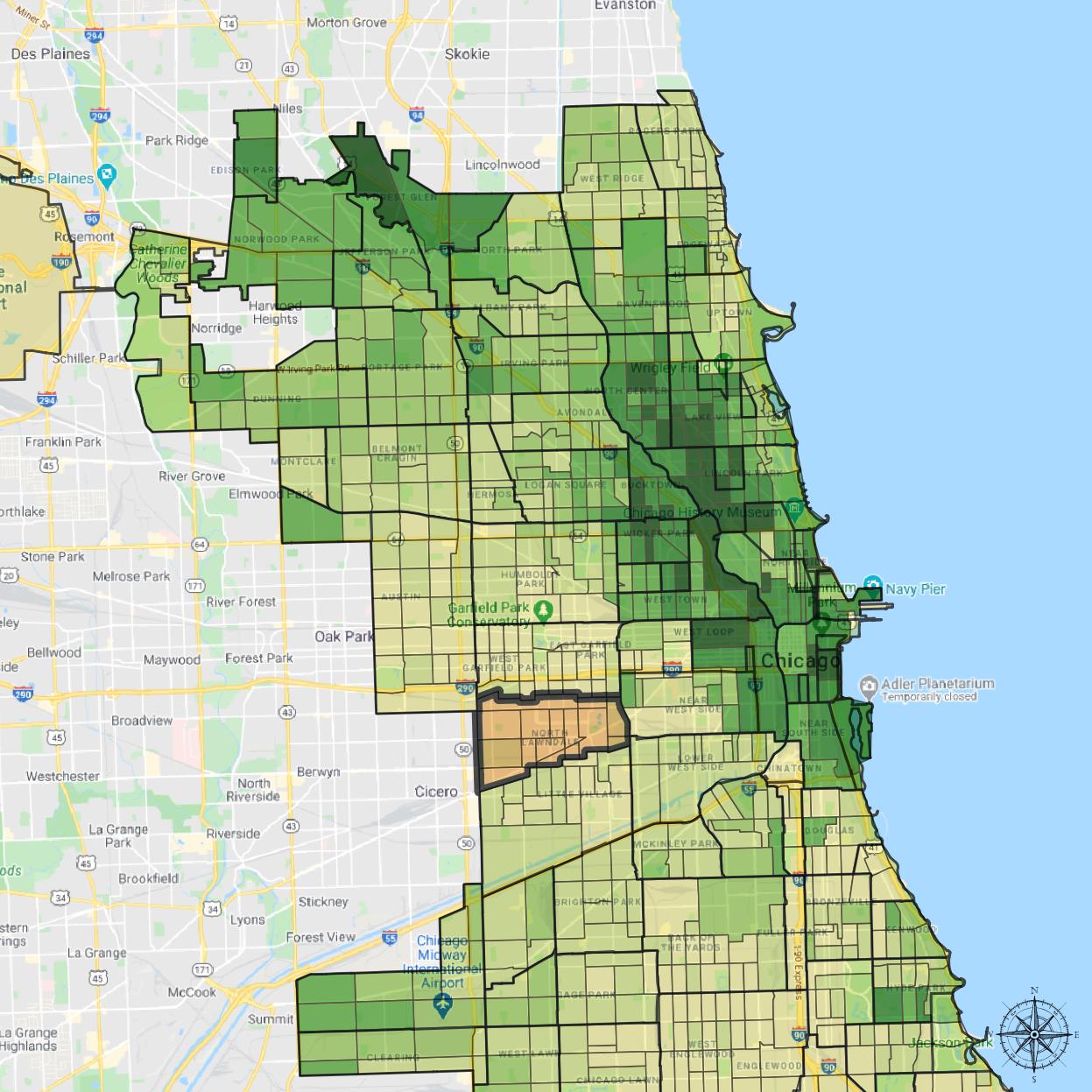
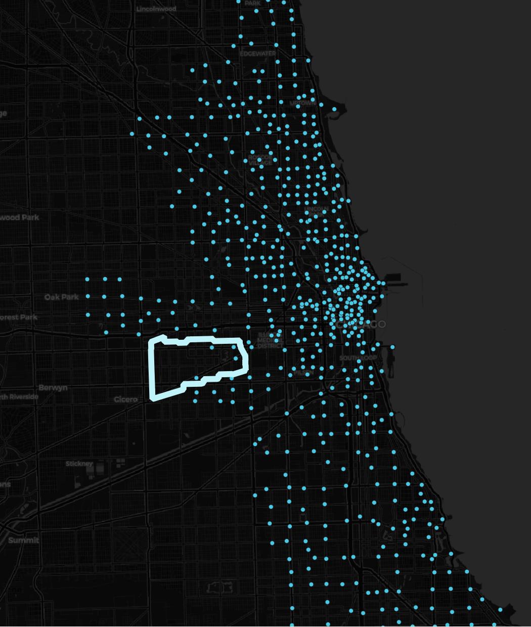
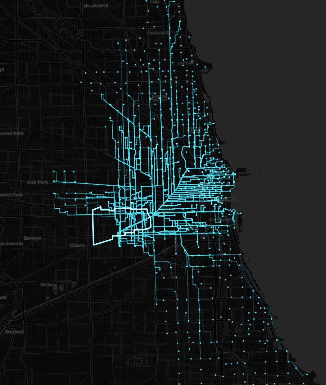
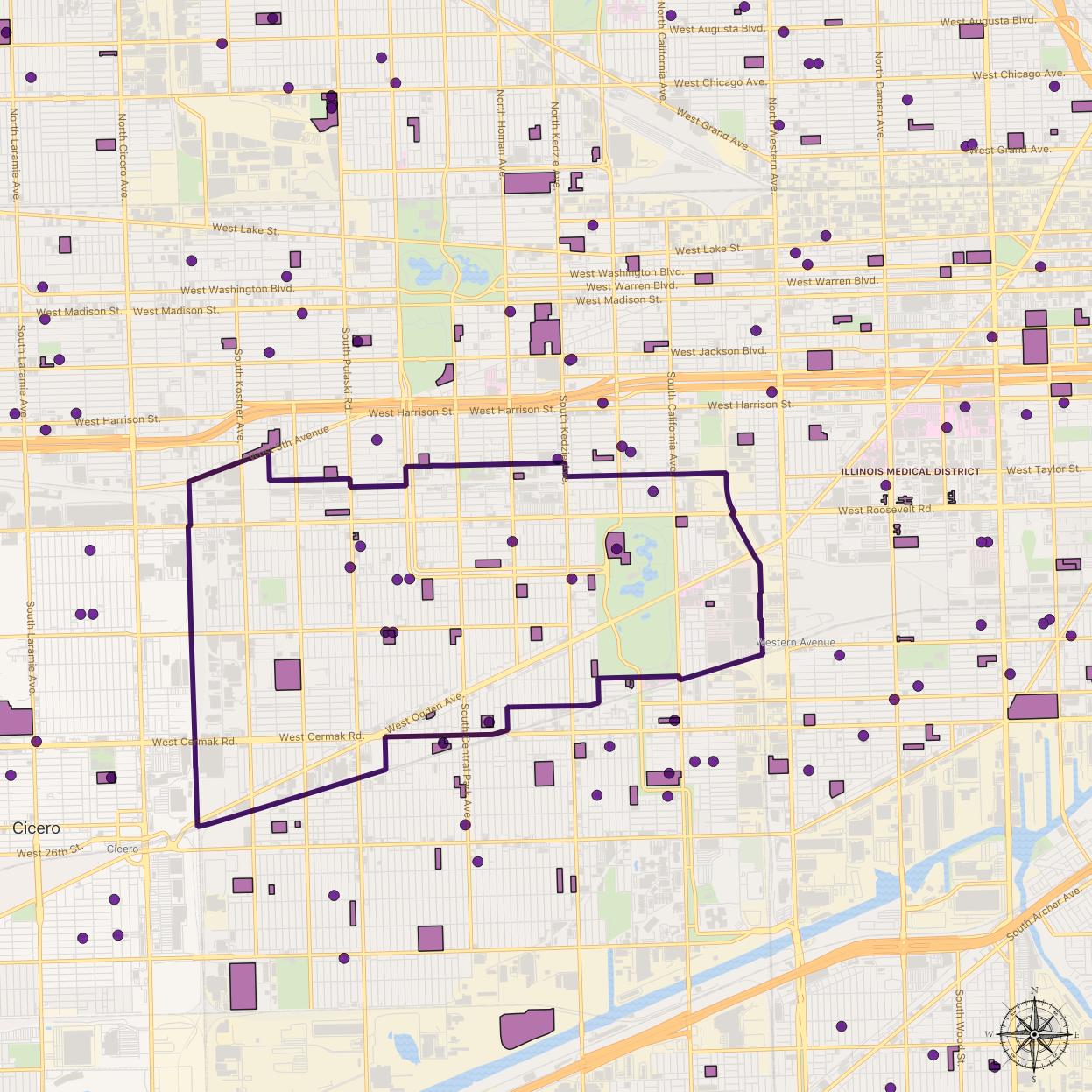
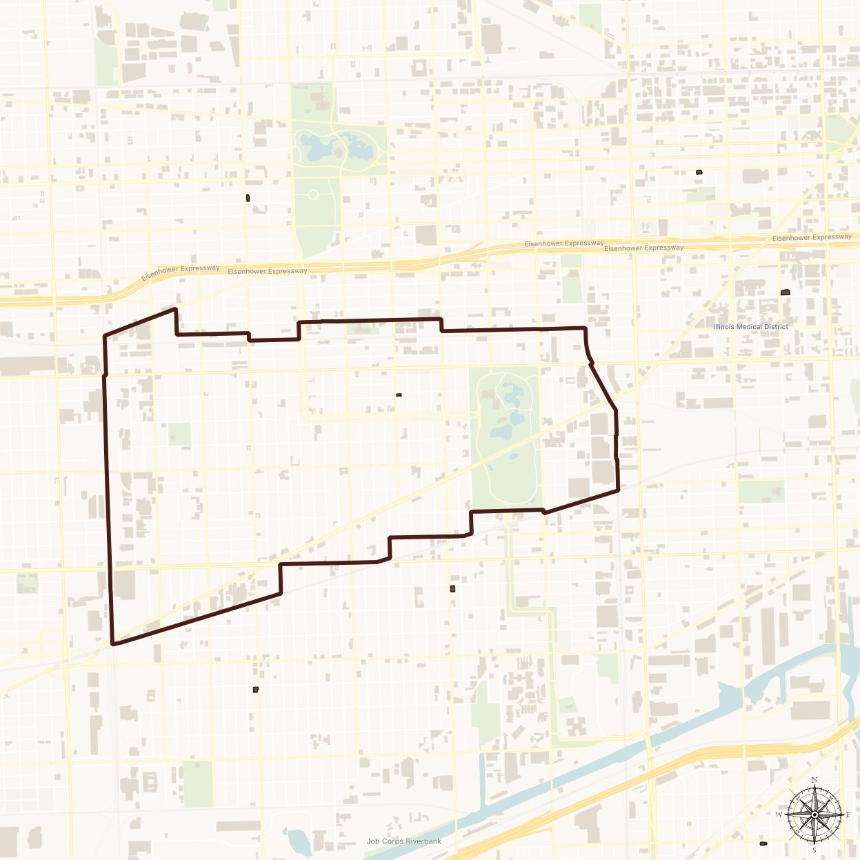
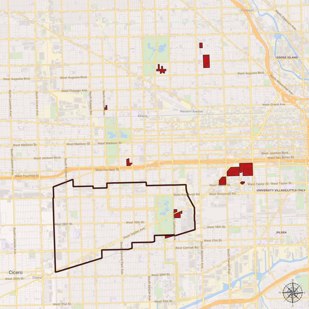
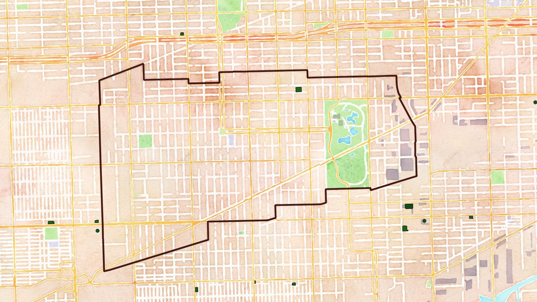
I’m working on a series of maps of Chicago’s North Lawndale neighborhood. I’m just going to drop a bunch of drafts into this post to share with the team.

North Lawndale, situated in Burgess’ concentric rings city development map
Gangster cartoon map. Not to scale.
“Chicago’s Gangland”, Frederic M. Thrasher, 1926
FHA 1940 redlining map. Data from Mapping Inequality
Bus and rail lines and stations
Chicago L stations by average weekday boardings
North Lawndale and the Loop transit by average weekday
Chicago non-white population, %
Bicycle mode share by census tract
Median income by census tract
Divvy bike stations
Divvy trips to/from North Lawndale. (Routes simulated)
Schools
Libraries
Hospitals
Groceries
Sidewalk coverage

Leave a Reply Text

Your email address will not be published. Required fields are marked *